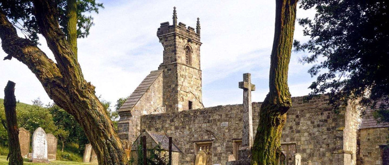
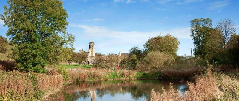
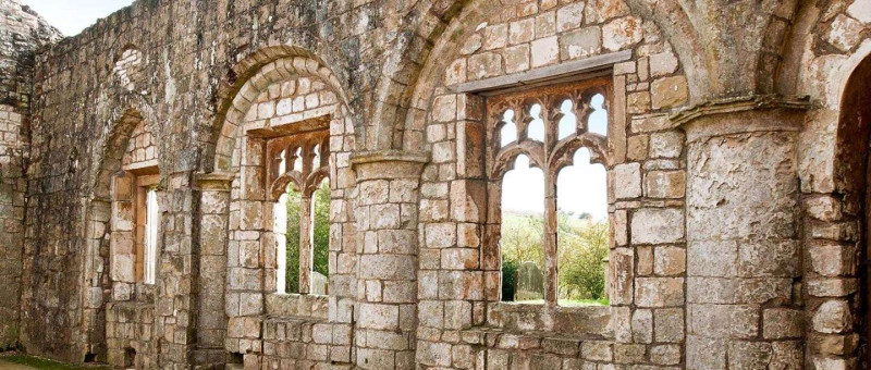
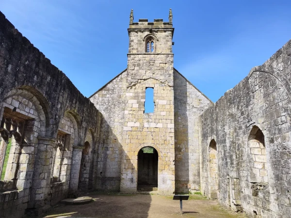
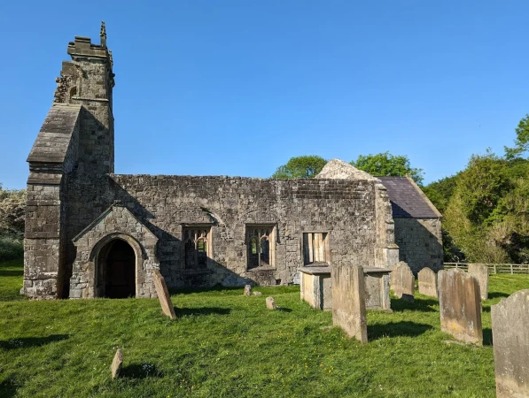
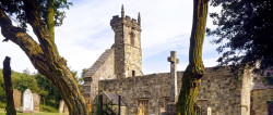
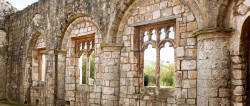
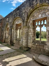
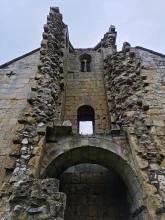
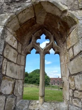
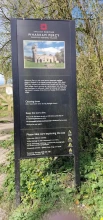
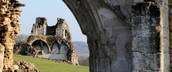
Wharram Percy Deserted Medieval Village

Description

Wharram Percy Deserted Medieval Village Wharram Percy is one of the largest and best preserved of Britain's 3,000 or so known deserted medieval villages. It is also undoubtedly the most famous. For over 60 years, archaeologists have pioneered new techniques here to understand what life was like in the village and why it was eventually deserted.

Perched on the side of a remote and beautiful valley in the Yorkshire Wolds, the village was continuously occupied for six centuries before it was abandoned soon after 1500. Today you can trace the outlines of many lost houses on a grassy plateau above the substantial remains of the church and the millpond. 

Free Entry. If you are looking for Best place for day out with kids and families then this is the perfect destination offering fun, adventure, and unforgettable memories for everyone.

Features

  • Free
  • Host birthday parties: No

Features

  • History of Wharram Percy Deserted Medieval Village: The village of Wharram Percy, in the Yorkshire Wolds, was continuously occupied for about 600 years. Probably founded in the 9th or 10th century, it flourished between the 12th and early 14th centuries, when members of the noble Percy family lived in the village. But by the early 16th century it was almost deserted, as a result of gradual abandonment and forced evictions. The ruined church is the last standing medieval building. Around it are the grassed-over foundations of two manor houses and about 40 peasant houses and their outbuildings. Since 1948 the settlement has been the focus of intensive research, which has made it Europe’s best-known deserted medieval village.
  • Earliest Settlement: In about 50 BC a settlement was established alongside an ancient east–west track crossing the valley. Part of this evolved into a larger farmstead,[1] which was abandoned in the 5th century.
  • Middle Saxon Settlement: The village’s origins are much debated. Some experts believe that a scatter of small buildings with sunken floors – some possibly enclosed by earthworks – represents an early village, which can be dated by the presence of mid 7th-century artefacts.
  • Late Saxon Occupation: At some point between 850 and 950 a major reorganisation of the landscape, encompassing agreement of parish and field boundaries, led to the foundation of the village proper, with a wooden church on the green.[5] According to Domesday Book, Lagmann and Carli were the two main pre-Conquest landowners, and Ketilbjorn held a smaller portion of land. These men, whose names indicate that they had Viking ancestry, perhaps rebuilt the church in stone.
  • The Rise of the Percy Family: By 1086 William the Conqueror had confiscated Wharram and had granted Lagmann and Carli’s holdings to Osbert the Sheriff. Ketilbjorn’s land was perhaps given to William de Percy, an important Norman baron, from whom the Percy Earls and Dukes of Northumberland, with castles at Warkworth, Alnwick and elsewhere, were descended.[
  • A Steep Decline: Misfortune struck the Percy family in the early 14th century. In 1315 Robert III’s son Peter Percy II died young, leaving no male heir. Raids by the Scots in 1319–22 – they burned seven farmsteads in nearby Thixendale – perhaps worsened the unsettling situation for the village, because by 1323 two-thirds of its land was uncultivated, plots were unoccupied and the two watermills disused.
  • Partial Recovery: On Walter II’s death in 1367 the estate reverted to a distant relative, Henry, of the more illustrious Percys of Spofforth. After this the Percy family no longer lived in the village. By 1368 the buildings of the North Manor were dilapidated and considered worthless.
  • The End of Village Life: Over the course of the late Middle Ages, the rising price of wool – the raw material for England’s increasingly profitable export of woollen cloth – induced many landowners to switch to sheep farming, converting arable land to pasture. This sea change spelled disaster for many small English communities that had lived by the plough.
  • Post-Medieval Farms: By 1674 a new farmhouse had been built; its adjacent farmyard was rebuilt in 1775–1800 and the farmhouse was replaced in 1807.[29] This building was demolished by 1845,[30] together with most of the farmyard, but in 1850 its southern range was converted into labourers’ cottages, which were occupied until 1976.
  • The Archaeological Project: The site of the village was mapped by the Ordnance Survey in 1850–51, resulting in some perceptive observations and interpretations of the earthworks. Modern research into Wharram began with the visit by the economic historian Maurice Beresford in June 1948, followed immediately by JK St Joseph’s aerial photography. Excavations took place every summer from the 1950s until 1990, and a book drawing together the many years of research was published in 2012.

Facilities

  • Parking: There is no vehicular access to the site. Please park considerately and do not block driveways or access. Car parking is available near the site with a £2 charge for non-members payable by text. Parking is free for Members with a valid English Heritage car sticker on display.
  • Dogs: Dogs on leads are welcome.

Price

Price: Free

Birthday Parties

Offer Birthday Parties: No

Open any reasonable time during daylight hours. 

Address: Malton YO17 9TD, UK

Post Code: YO17 9TD

Council: North Yorkshire

County: North Yorkshire

  • Road Access: 6 miles South-East of Malton, on minor road from B1248; 1⁄2 mile South of Wharram-le-Street. Park in car park, then 3⁄4 mile walk via uneven track, steep in places. Site also accessible on foot via Wolds Way ramblers’ path. Sturdy and waterproof footwear required. Parts of site slope steeply, and farm livestock likely to be present on site and access path.
  • Bus Access: Stephenson’s 190 to Wharram-le-Street then 1 mile walk.
  • Train Access: Malton 8 miles.
  • Bicycle Access: Find this site on The National Cycle Network.
  • Parking: There is no vehicular access to the site. Please park considerately and do not block driveways or access. Car parking is available near the site with a £2 charge for non-members payable by text. Parking is free for Members with a valid English Heritage car sticker on display.

0

0 Reviews

Rating breakdown

5
80% Complete (danger)
0
4
80% Complete (danger)
0
3
80% Complete (danger)
0
2
80% Complete (danger)
0
1
80% Complete (danger)
0

More Day Outs in North Yorkshire

Get the best blog stories into your inbox!