Description
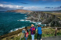
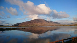
Cnoc na dTobar (meaning "Mountain of the Wells" or "Hill of the Wells") is a premier historical and cultural trekking destination located in the south-west Skellig Kerry region. Standing as an independent, standalone peak, this sacred mountain has been a prominent place of assembly and pilgrimage since prehistoric and medieval times. The route offers hikers a peaceful, highly structured walking experience that follows an ancient trail from the lowlands directly to a high mountain plateau overlooking the Atlantic Ocean. If you are looking for the best things to do with kids in Kerry, exploring this historic pilgrim trail provides an exceptional blend of Irish heritage, exercise, and dramatic coastal landscapes.
Embarking on the hike is straightforward, as the trail is a public right-of-way with entirely free-of-charge access. There are no entry premiums or permit requirements to walk the path, making it an excellent, cost-effective day out for families and outdoor enthusiasts. Visitors only need to account for personal travel costs, packed lunch items, and potential stopovers at local visitor centres or cafes in the nearby town. Free designated parking options are provided at the very foot of the mountain where the route begins.
If you are looking for an authentic walk that balances spectacular marine vistas with deep historical roots, this holy site is an essential itinerary stop. The path is recognized as one of the premier sacred mountains of Ireland, sharing cultural status with Croagh Patrick and Mount Brandon. It is one of just twelve elite trails selected to form the official Pilgrim Paths of Ireland network, providing traveling families with a beautifully waymarked, educational hike along the Wild Atlantic Way.
Features
- Free
- Host birthday parties: No
Features
What Makes Cnoc na dTobar Unique?
- Official National Pilgrim Path: Holds exclusive designation as one of only twelve protected medieval pilgrimage paths recognized across Ireland.
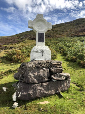
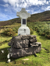
- The 14 Stations of the Cross: The entire length of the uphill climb is structurally lined with fourteen distinct white stone crosses built in 1885.
- Ancient Pagan Harvest Site: Long before Christianity, the broad flat summit served as a prehistoric assembly point for the Celtic festival of Lughnasa.
- St. Fursey’s Holy Well: Positioned at the base of the trail, this ancient spring has been visited since medieval times for its mineral properties.
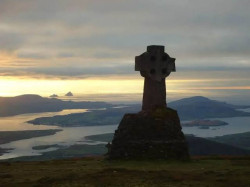
- Dramatic Alignment with the Skelligs: The structural trajectory of the climb means that the world-famous Skellig Rocks gradually rise out of the ocean as you ascend.
Detailed Highlights
- St. Fursey's Holy Well Welcome: The traditional launch point of the trail where pilgrims gather. The natural well waters have a historical reputation for treating eye complaints and soothing weary travelers.
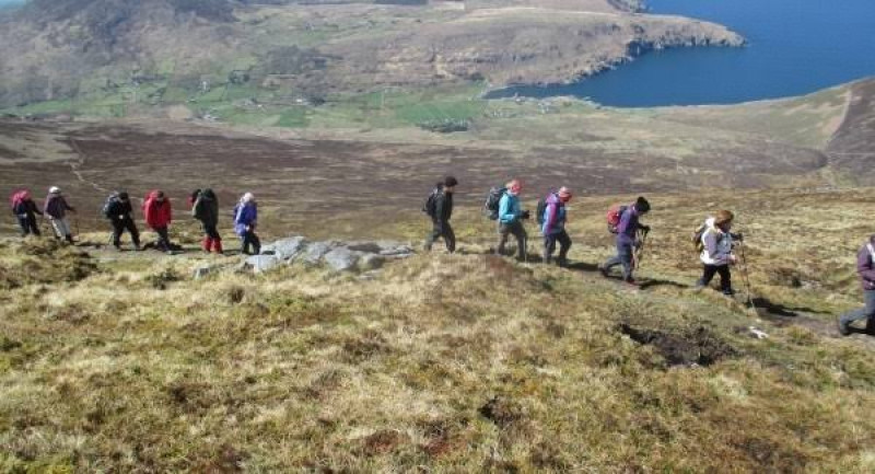
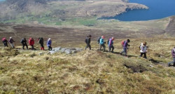
- The 14 Stations Trail: A clearly waymarked, worn dirt and gravel track that snakes steadily up the mountain. Local community development groups actively maintain the paths and paint the markers white for safety.
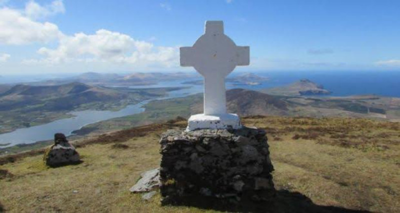
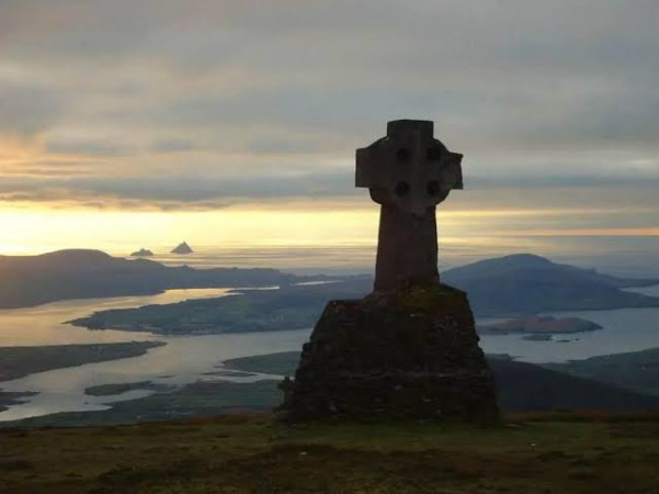
- The Canon's Cross Junction: An imposing, large white cross positioned at the edge of the high summit plateau. While many treat this as the final destination, it marks the gateway to the upper turf plains.
- The True Summit Cairn: Located a short walk northwest beyond the Canon's Cross across a broad peat expanse. At 690 metres above sea level, this peak qualifies as a British Isles "Marilyn" due to its standalone prominence.
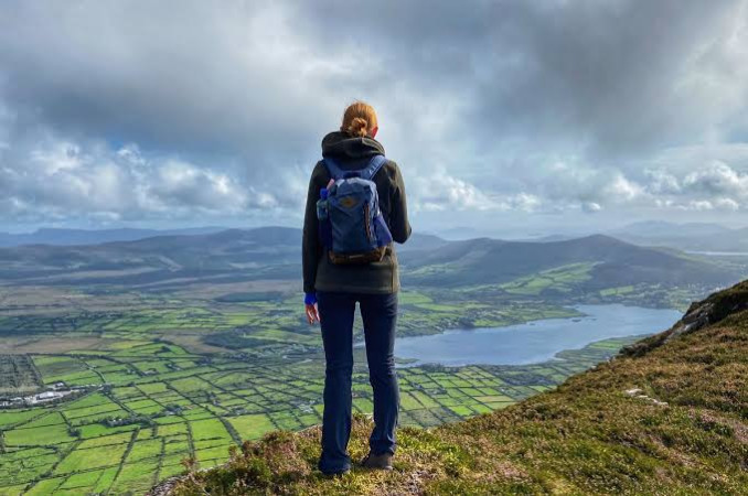
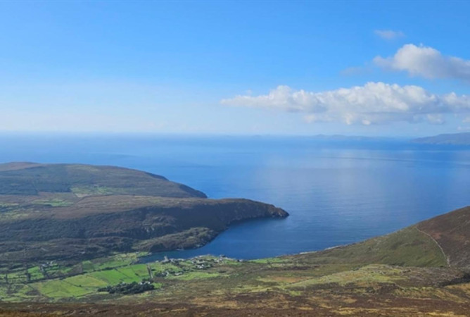
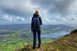
- The 360-Degree Ocean Vista: The panoramic viewing point at the top which looks over Valentia Island, Dingle Bay, the Blasket Islands, and Carrauntoohil.
What to See and Do
- Collect Passport Stamps: Pick up a National Pilgrim Path Passport in Cahersiveen town and collect your custom location stamp at local designated businesses.
- Follow the Historic Penance Path: Trace the white crosses up the mountain, which were purposely aligned in 1885 to give hikers a challenging, contemplative incline.
- Discover Prehistoric Monuments: Keep an eye out for scattered ancient stone monuments and archaeological ruins that dot the grassy lower slopes of the hill.
- Spot the Wild Atlantic Coastline: Watch for fishing vessels navigating Coonanna Harbour and trace the outline of the Dingle Peninsula across the bay.



 4.12 miles